What is a Floodplain?
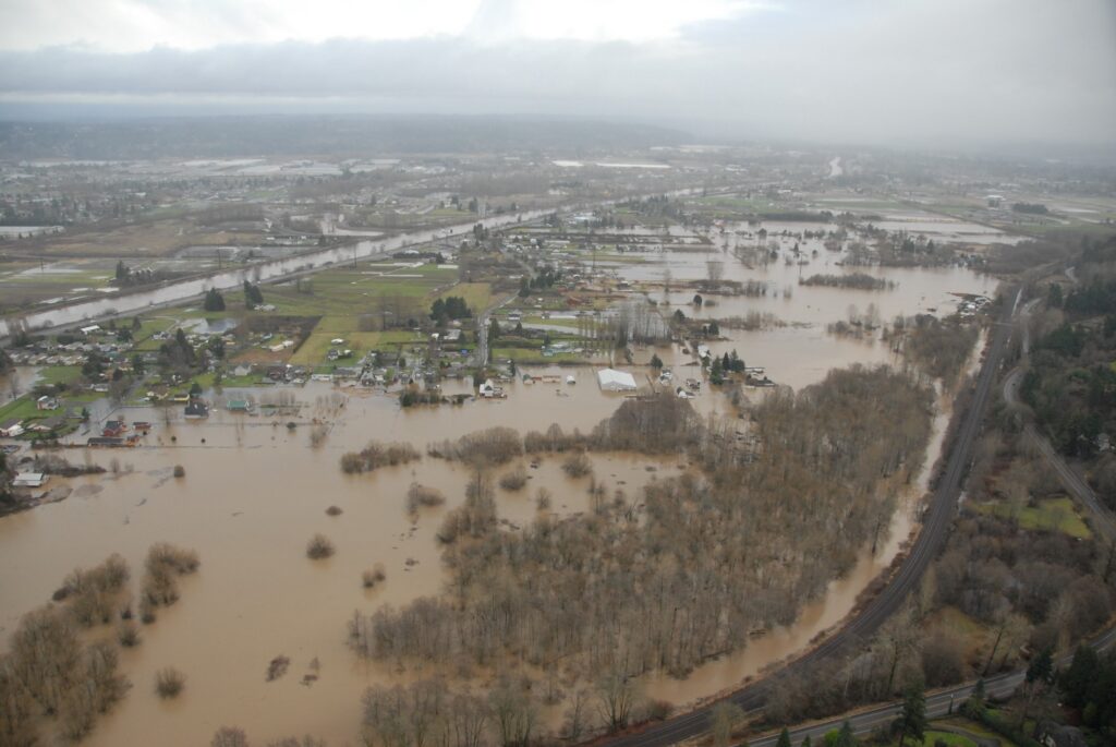
WSDOT, 2009
A floodplain is the area of land that may be covered by water during a flood. These areas are a natural part of river systems, providing space for floodwaters to spread out and move downstream during periods of high flow.
Understanding where floodplains are located helps communities make informed decisions about development, infrastructure, emergency preparedness, and long-term flood risk management.
What are Flood Maps?
Flooding can occur almost anywhere and remains one of the most common natural hazards in the United States. Flood maps help communities understand where flooding is most likely to occur and how flood risk varies across a landscape. FEMA publishes flood maps called Flood Insurance Rate Maps (FIRMs) that highlight one possible scenario of potential flooding and map that hazard as the Special Flood Hazard Area.
Developed through engineering analysis, flood maps illustrate the relationship between rivers, streams, neighborhoods, businesses, and areas that may be affected during flood events. The FIRMs focus on a flood that has a 1% chance of occurring at any time and provide valuable base information for communities to build their local ordinances around. FEMA shares these FIRMS and supporting risk assessments to help communities better understand, prepare for, and manage flood hazards.
The video below provides an overview of how flood maps are created and used, and you can find additional information on FEMA’s website.
To learn more about flood risk in the Lower Puyallup Valley and the ongoing map update effort, see Lower Puyallup River Flood History.