The Puyallup River
The Puyallup River is an important part of everyday life in Pierce County. Whether you have driven alongside the river, walked the Riverwalk trail, fished during the late summer runs, or simply seen the river from your community, you are likely familiar with the river as it exists today: a relatively straight channel bordered by levees.
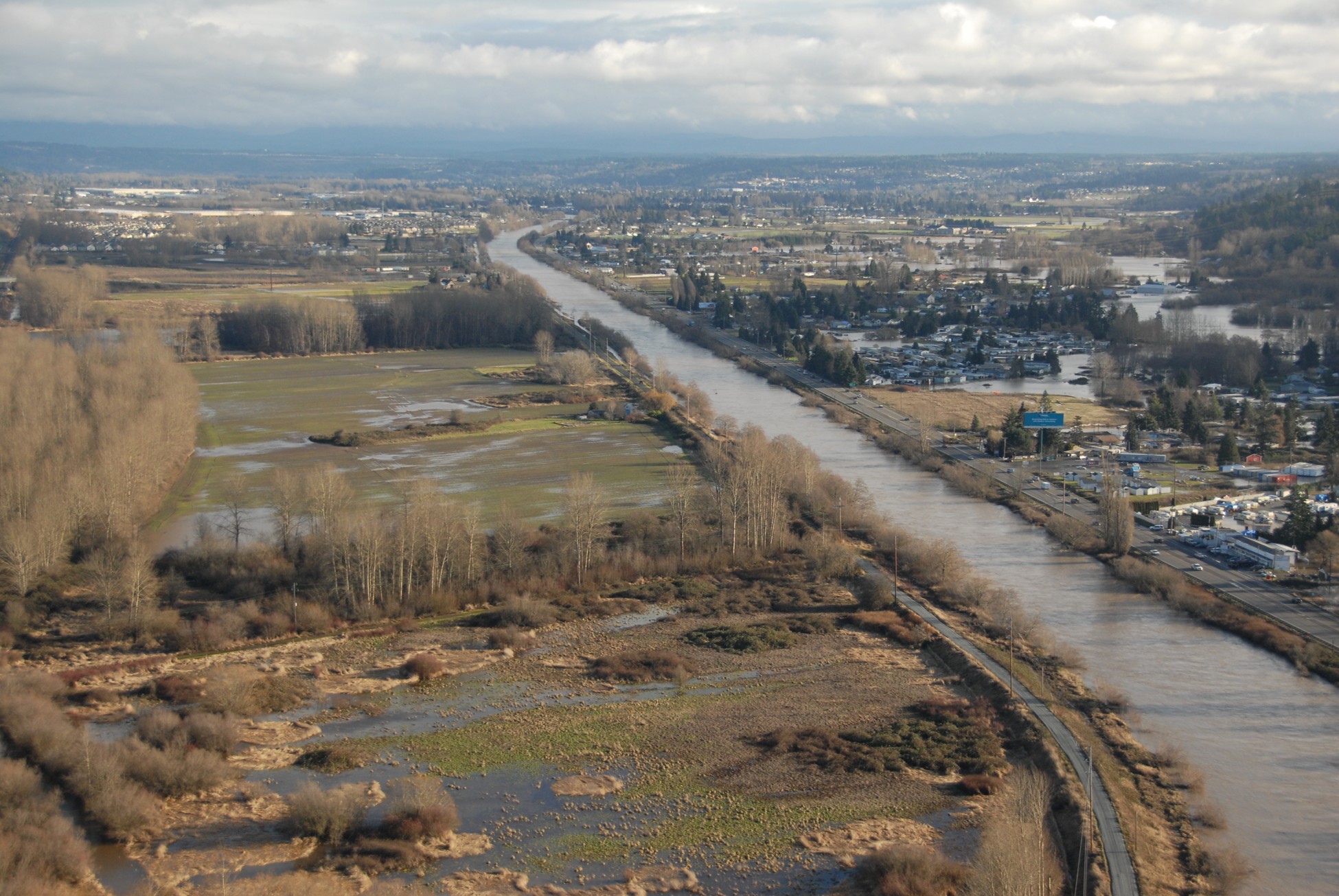
WSDOT, 2009
But the Lower Puyallup River has not always looked this way. Before flood control infrastructure was constructed, the river moved freely across a broad glacial valley. The channel meandered across the landscape before reaching an extensive estuary and wetland system near what is now the Port of Tacoma. Historic maps, including the 1897 U.S. Geological Survey map shown on the right, illustrate a river system that was far different from the one we know today.
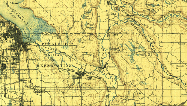
USGS topoView, 2026
Over the last century, the river and surrounding floodplain have been shaped by levee construction, channel modifications, gravel extraction, dredging activities, and the construction of Mud Mountain Dam. Each of these changes has influenced how floodwaters move through the valley and how flood risk is managed today.
Understanding Flood Risk Over Time
Flooding in the Puyallup Valley has changed alongside the river itself. As communities grew and flood protection infrastructure expanded, engineers developed new ways to understand and manage flood risk. Flood studies have been conducted in the basin for decades. FEMA’s original Flood Insurance Study (FIS) was completed in the 1970s, with major updates occurring between 2004 and 2017. Additional studies have continued to improve our understanding of how water moves through the river system and surrounding floodplain.
You can find out more about the history of flooding in Pierce County here.
Pierce County Rivers Flood Inundation Mapping Project
Separate from the Lower Puyallup River Floodplain Mapping Project, the Pierce County Rivers Flood Inundation Mapping Project is an ongoing effort to better understand how flood conditions have changed throughout the Puyallup and Carbon River systems over time. The project uses hydraulic modeling and mapping to illustrate the effects of both natural river processes and human activities on the river system and surrounding floodplain.
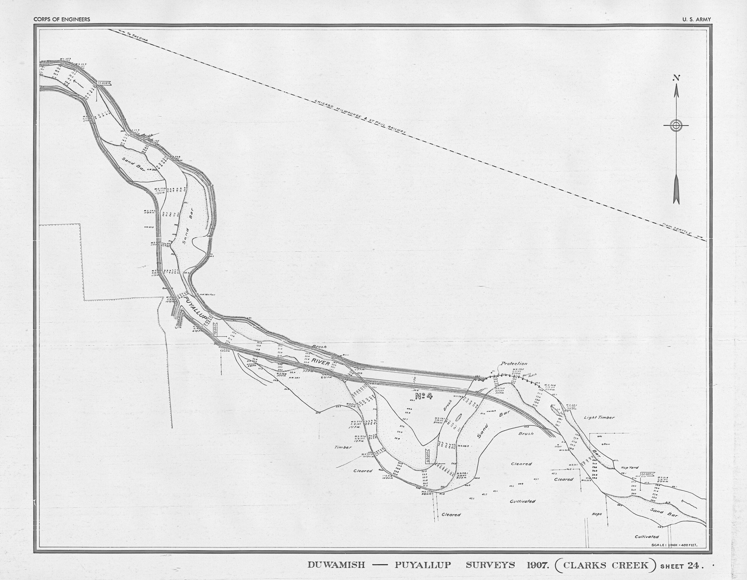
1907 survey showing templates for the 1940 straightening of the river.
Rather than focusing solely on current conditions, the project examines how flood risk and floodplain processes have evolved across several important periods in the basin’s history:
- Pre-European settlement representing natural conditions
- Beginning of European settlement
- Addition of initial levees and dredging flood protection measures
- Existing conditions
- Future conditions with Capitol Improvement Projects proposed by Pierce County
The mapping provides a unique perspective on how changes to the river, floodplain, and flood protection infrastructure have influenced flooding throughout the valley. These products serve as communication and planning tools that help visualize the progression of flood risk management and its relationship to the surrounding environment. Since the mapping was developed at a planning level, the results are intended to provide a broad understanding of changing flood conditions across the basin and should not be used as site-specific flood hazard assessments. Explore more about the Rivers Flood Inundation Mapping Project here.
Levees and Flood Risk Today
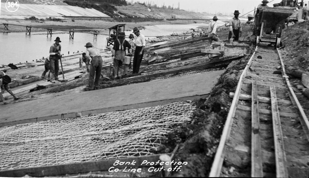
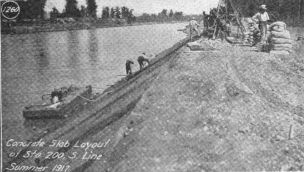
A defining feature of the Lower Puyallup Valley is the network of levees constructed during the early twentieth century to help reduce flood risk.
While these levees continue to provide important flood protection benefits, they cannot currently be accredited by FEMA as meeting the requirements in federal regulations. The federal regulations specify the minimum criteria needed to be able to map the area as protected by a levee on the FIRM.
Because the levees are not certified by a professional engineer or the US Army Corps of Engineers, FEMA cannot accredit the system so mapping procedures must account for the possibility that floodwaters could bypass, overtop, or otherwise affect areas behind the levee system during major flood events.
As a result, special flood hazard mapping methods are being used to better understand and communicate flood risk throughout the valley. You can learn more about this from FEMA here.